CHECK-IN AND ORIENTATION
THURSDAY, SEPT. 19
4:30 to 6:30 p.m.
Cannon Beach Chamber Community Hall
207 N. Spruce St., Cannon Beach, OR
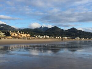
Our Thursday evening check-in and orientation will be held in Cannon Beach at the Chamber of Commerce’s Community Hall. Drop in any time between 4:30 and 6:30 p.m. to pick up your maps, neck gaiter or bandana, and other materials. Event volunteers will introduce you to the landscape we’ll be traversing, cover logistics and safety protocols, explain parking and breakfast routines, and give you a chance to ask questions one on one.
By checking in Thursday evening, you’ll help us all get an early start hiking on Friday. If you can’t make it to the orientation by 6:30 p.m. Thursday, check in during breakfast Friday morning.

DAY 1
HUG POINT TO SHORT SAND BEACH
MEET IN CANNON BEACH
Cannon Beach Chamber Community Hall
207 N. Spruce St., Cannon Beach, OR
- Breakfast available starting at 7:30 a.m.
- Buses leave at 8:30 a.m.
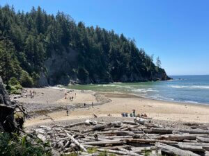
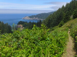
We will assemble in Cannon Beach before boarding buses to Hug Point State Recreation Site. From here we’ll walk south down the beach to Arch Cape, cross a suspension footbridge, then follow a forest trail up and over Cape Falcon, pausing for a snack stop along the way. At Short Sand Beach head up a short trail through ancient cedars to waiting buses on US 101. With elevation gain of 2400 feet, this is our most challenging day.
DISTANCE: 9.9 miles
ELEVATION GAIN: 2400 feet
Hike route and direction are subject to weather and trail conditions.
The route will be well-marked, and you will receive a paper map of the day’s route. If you have a GPS device or a GPS program (such as GaiaGPS) on your phone, you can download a GPX file of the Day 1 map. The file is stored in a Google Drive. Open the file and import it into your GPS device or GPS program. There are TWO files for Day 1, as we offer an alternative route for those wanting a less strenuous option.

DAY 2
NEAHKAHNIE MOUNTAIN TO THE NEHALEM RIVER
MEET IN CANNON BEACH
Cannon Beach Chamber Community Hall
207 N. Spruce St., Cannon Beach, OR
- Breakfast available starting at 7:30 a.m.
- Buses leave at 8:30 a.m.
We will assemble in Cannon Beach before boarding buses to the Neahkahnie Mountain North Trailhead. We’ll walk up and over the mountain, cross US 101, hit the beach and pause for snacks at Manzanita. Then it’s a beach walk on Nehalem Spit before we catch a boat to reach the buses waiting to return us to Cannon Beach.
DISTANCE: 11 miles
ELEVATION GAIN: 1820 feet
Hike route and direction are subject to weather and trail conditions.
The route will be well-marked, and you will receive a paper map of the day’s route. If you have a GPS device or a GPS program (such as GaiaGPS) on your phone, you can download a GPX file of the Day 2 map. The file is stored in a Google Drive. Open the file and import it into your GPS device or GPS program.

DAY 3
HUG POINT TO ECOLA POINT
MEET IN CANNON BEACH
Cannon Beach Chamber Community Hall
207 N. Spruce St., Cannon Beach, OR
- Breakfast available starting at 7:30 a.m.
- Buses leaves at 8:30 a.m.
We will assemble in Cannon Beach before boarding buses back to Hug Point State Recreation Site. Today we hike northbound, around historic Hug Point on a wagon road blasted out of the rock more than a century ago. We continue up the beach, past Cannon Beach and over Ecola Creek, to enter Ecola State Park, where we’ll end our walk at Ecola Point. This is our shortest day, helping you to get a head start on your return home after your CoastWalk weekend.
DISTANCE: 7.8 miles
ELEVATION GAIN: 920 feet
Hike route and direction are subject to weather and trail conditions.
The route will be well-marked, and you will receive a paper map of the day’s route. If you have a GPS device or a GPS program (such as GaiaGPS) on your phone, you can download a GPX file of the Day 3 map. The file is stored in a Google Drive. Open the file and import it into your GPS device or GPS program.